Southern Geospatial Services, PLLC
124 Salem Towne Court Suite B
Apex, NC 27502-2311
NCBELS Firm License P-1373
919.810.2005
info@sgsgis.com |
|
 |
 |
Photogrammetry Services
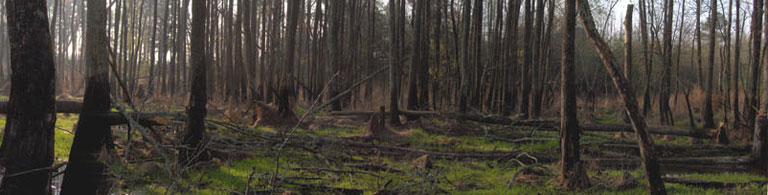
SGS can convert non-georeferenced hardcopy and digital aerial photography datasets into rectified seamless photomosaics. Hardcopy photography datasets are scanned using high resolution large format scanners. Individual digital images are mosaiced using various GIS software platforms. SGS can interpret and analyze aerial photography mosaics, including vegetation classification polygon delineation, and SGS can analyze other remotely sensed (RS) data formats.
|
|
 |
© 2014 Southern Geospatial Services, PLLC |