|
Client: NCSU Dept of Forestry and Environmental Resources
NC County Soil Survey Map Rectification
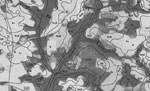 |
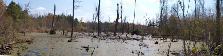
Close up of a scanned NC County Soil Survey Publication |
|
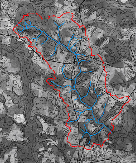
A spatial database was generated of stream networks as represented in North Carolina County Soil Survey publications for select research watersheds. Specifically, historic hardcopy soil survey maps were scanned and georeferenced based on current reference images, and the stream networks were digitized as displayed on the rectified soil maps. The output database was utilized for comparison with existing stream network databases. Project performed for North Carolina State University Department of Forestry and Environmental Resources research effort.
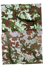 |
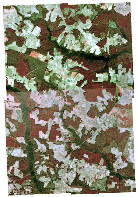
USGS reference aerial photo mosaic |
|
North Carolina administrative code requires development practices to allow for a riparian buffer of intermittent and perennial streams in select river basins. Said streams are commonly identified as displayed on either NC County Soil Survey publication maps or United States Geological Survey 1:24000 topographic maps. NC County Soil Survey maps display stream networks as well as soil-type delineation polygons over aerial photography in their hardcopy format. While most counties provide spatial datasets of soil polygons for use in a GIS environment, the streams displayed on hardcopy soil maps are not available in digital form. Stream networks from soil maps are often different from those provided on USGS topographic maps, and can represent a more thorough inventory; however, as they exist exclusively in hardcopy format, they represent a less accessible reference.
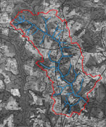 |
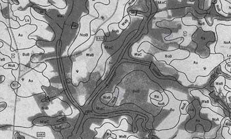
Stream network as digitized from NC Soil Survey |
|
Client delivered shapefiles of 16 study site boundaries as well as the corresponding NC County Soil Survey publications. Research sites were located on the Soil Survey hardcopy maps, and the relevant maps were scanned using a high resolution scanner. A short research period was undertaken to develop a complete understanding of production methodologies employed to produce NC County Soil Survey publications. Techniques of interest were the method of rectification for the aerial photography employed as a base layer for the soil maps, methods utilized to draw stream and soil layers, and quality assessment measures.
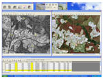 |
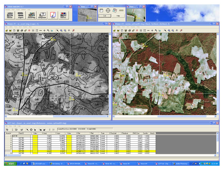
ERDAS image resampling procedure |
|
One meter Color DOQQ aerial photography was acquired from the USGS Seamless Data Distribution System and mosaiced for use as reference images. A database was built to house the 16 research site boundary shapefiles, reference photo mosaics, and the raw scanned soil map images. ERDAS Imagine 8.7 was used to tie the scanned soil map images to actual geographic coordinates using image geometric correction and resampling. ESRI ArcInfo Workstation 9.1 was used to digitize stream networks as displayed on the soil maps. Output spatial datasets were delivered to the client along with a detailed report of procedures.
|