|
Client: Town of Apex Environmental Programs Division
Stormwater Utility Infrastructure GIS Utility Map Development
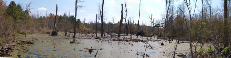
SGS constructed a geodatabase and created a customized GPS data collection protocol for a MS4 operator. GPS features were collected at storm drainage features within the jurisdiction of the utility. Line features were created within the GIS to represent storm drainage pipeline features. Pipeline features were provided with size and material information collected at storm drainage inlet and outfall features. Storm drainage best management practices (BMP's) were inventoried and detailed information regarding their structure resides within the GIS. The resulting GIS utility map satisfies the storm sewer basemap aspect of NPDES Phase II Stormwater Program requirements for a MS4 operator.
Apex currently maintains its storm water utility in house. SGS advises Apex on particular scenarios that arise and SGS has edited the geodatabase to incorporate changes as requested by the Town.
 |
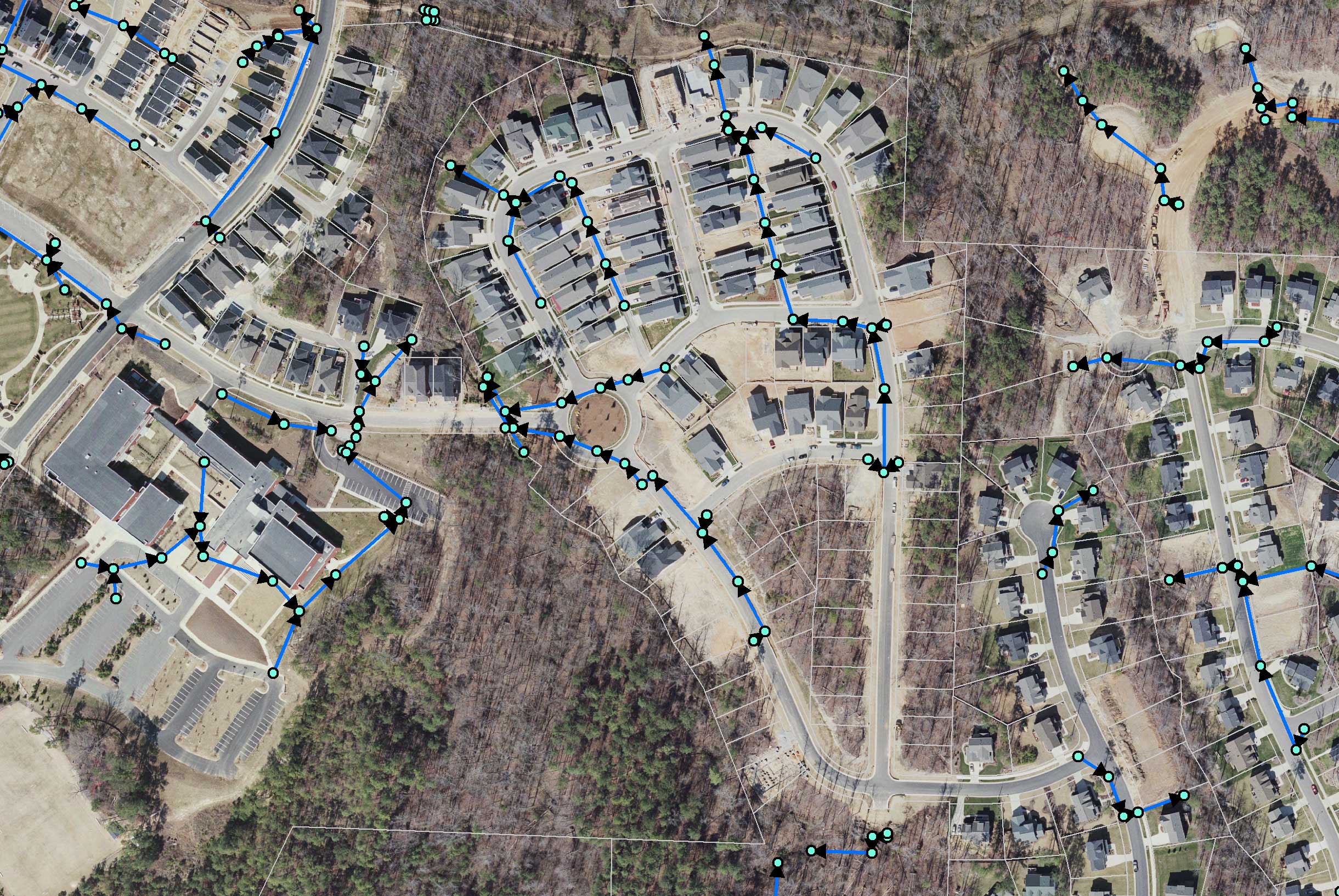
Portion of a mapped storm drainage network |
|
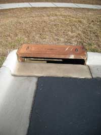 |
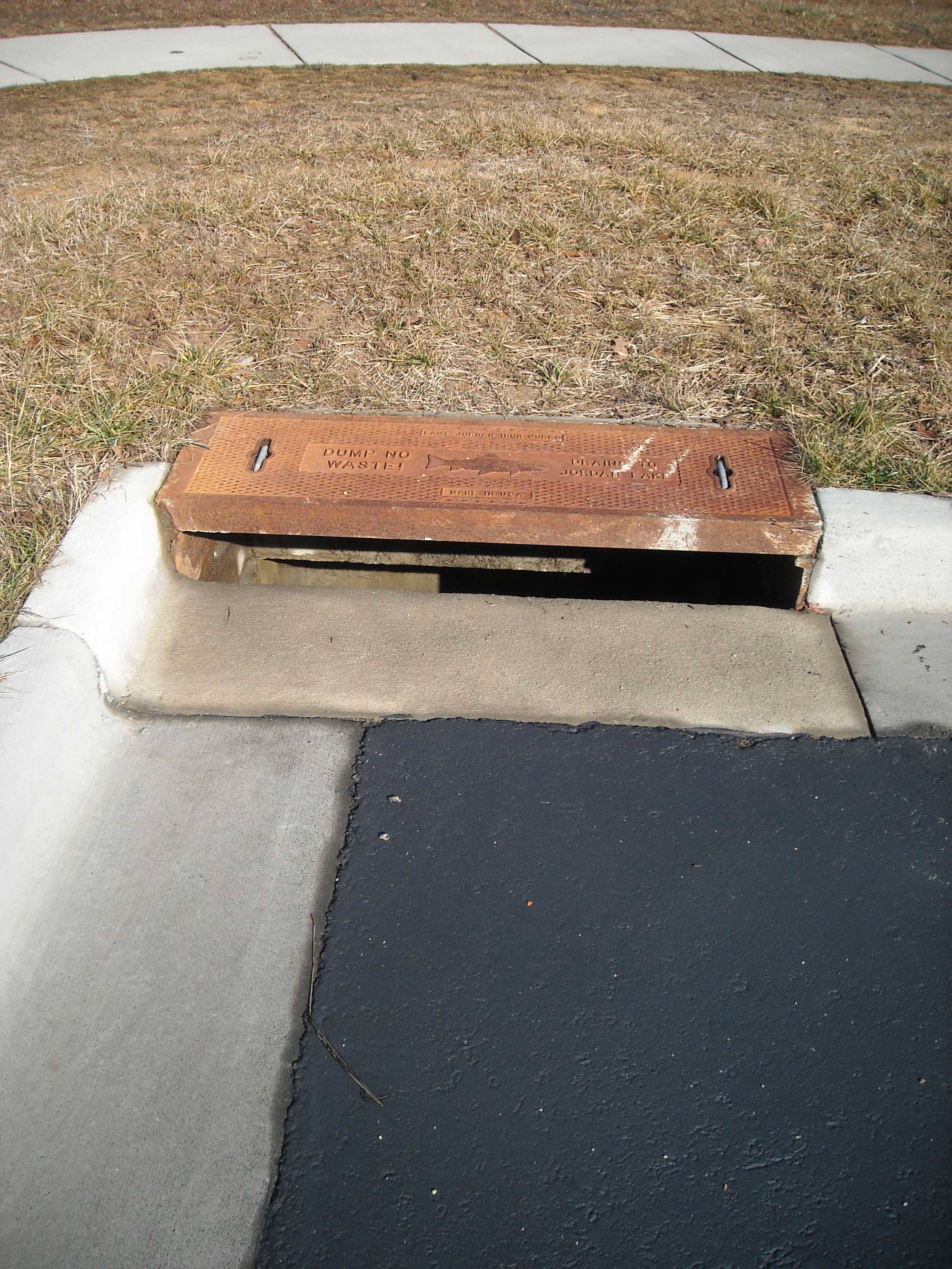
Open throat curb inlet with a precast concrete box material |
|
|